Warnings
 Construction
 Weather
 Contact
 Search
Pohorska bicycle transversal PT
Pohorska bicycle transversal PT
Pohorska bicycle transversal PT
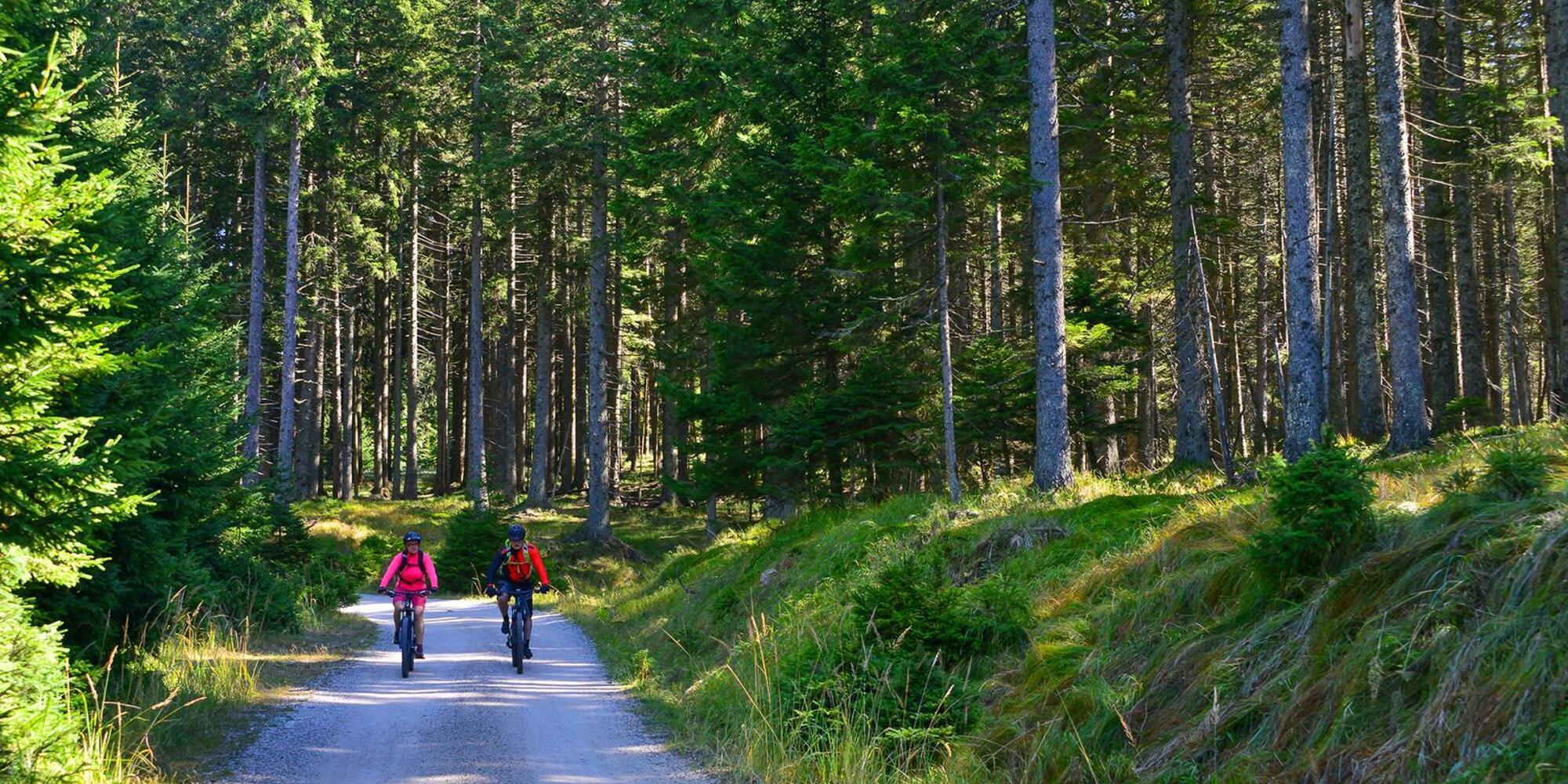
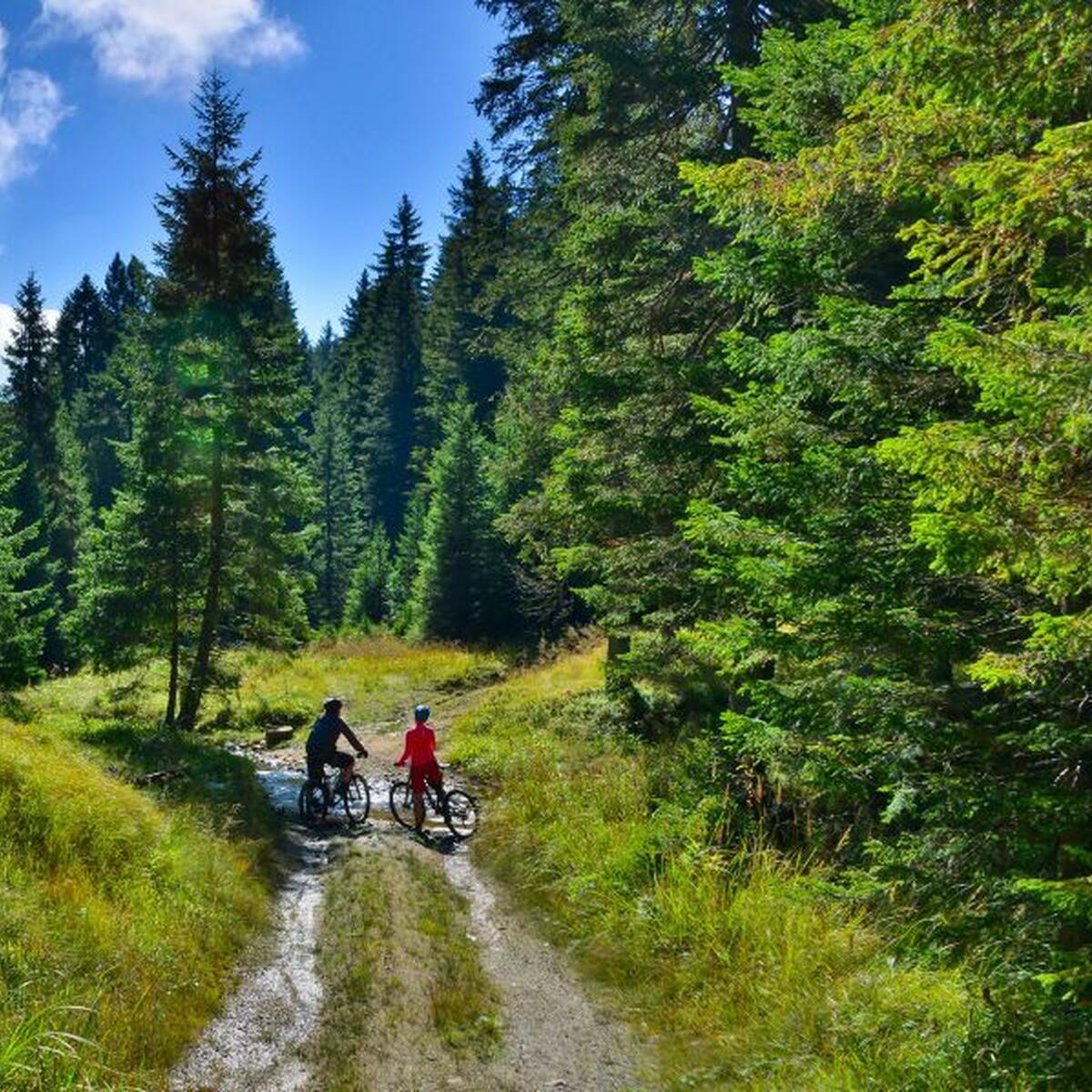
The Pohorje bicycle transversal (PT) runs along the ridges of Pohorje and connects the eastern part with the western part. It is marked in both directions with the PT sign. The varied cycling route, 75 km long, invites you to discover nature and Pohorje attractions by bike along the forest roads from the church of St. Bolfenka on the Maribor side to Koča pod Kremžarjev vrh on the Carinthian side of Pohorje.
Basic information about the cycling route
Starting point: | Bellevue (upper station of Pohorska funicular) |
|
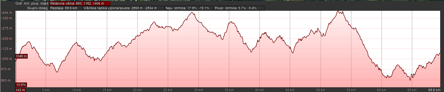
The altitude of the starting point: | 1048 m |
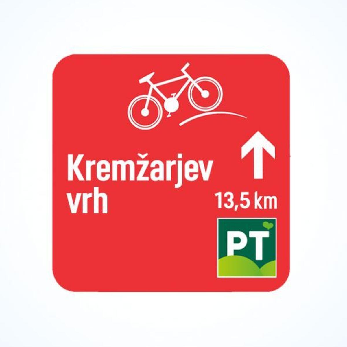
Marking: |
Green color and PT marking |
The distance: | 70 km |
Tme: | |
Connections with other cycling routes: | 1, 2, 3, 4, 5, 6, 7, STKP |
Demanding: | Demanding |
Type of foundation: | Gravel, asphalt |
How is the cycle path marked?
The Pohorje bicycle transversal , which connects the western part of Pohorje with the eastern part, can be identified on bicycle signs with the green color and PT marking.