Štrekna
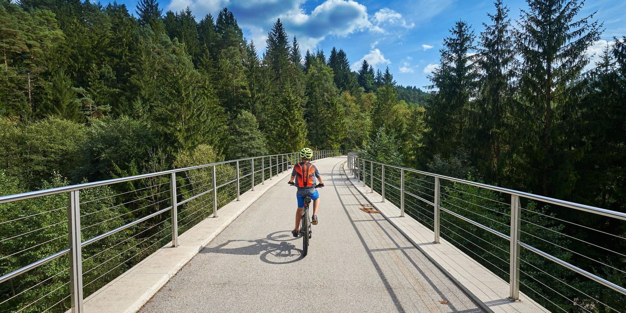
Štrekna is a cycling trail built on the abandoned route of the former railway line that connected Velenje to Dravograd. The name of the trail comes from the fact that it follows the disused railway, commonly referred to as "štreka." It is one of the best-developed cycling routes of its kind in Slovenia, offering picturesque views of Pohorje and Uršlja Gora.
The entire 35-kilometer stretch between Velenje and Dravograd is paved, uniformly marked, and separated from traffic. Along the route, cyclists and other users can enjoy numerous rest stops equipped with all necessary facilities. With its gentle and consistent gradient, the trail is particularly suitable for families and older riders.
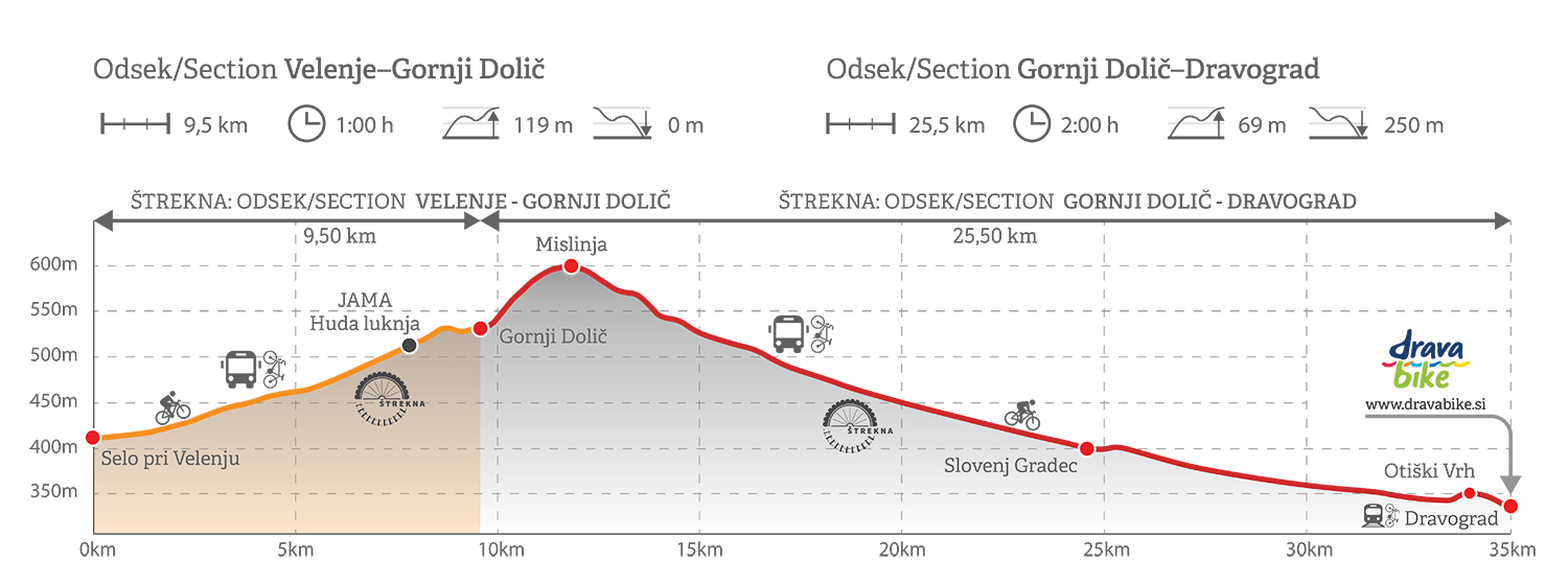
In Velenje, the route begins at an altitude of 411 meters, reaching its highest point of 590 meters in Mislinja, before gradually descending to Dravograd at 341 meters.
In Dravograd, Štrekna connects to the Drava Cycling Trail – Drava Bike, which serves as the main cycling artery from which an extensive network of cycling routes branches out.
Štrekna

Basic information about the cycling route
Starting point: | Velenje |
The altitude of the starting point: | 411 m |
Label: | |
Distance: | 35 km |
Time: | |
Connections with other cycling routes: | |
The lowest point: | |
The higest point: | 590 m |
Difficulty: | |
Height meters: | |
Type of foundation: | asphalt |

How is the cycle path marked?
The Štrekna logo directs us on the bicycle boards.


 Warnings
 Construction
 Weather
 Contact
 Search

