Duplek
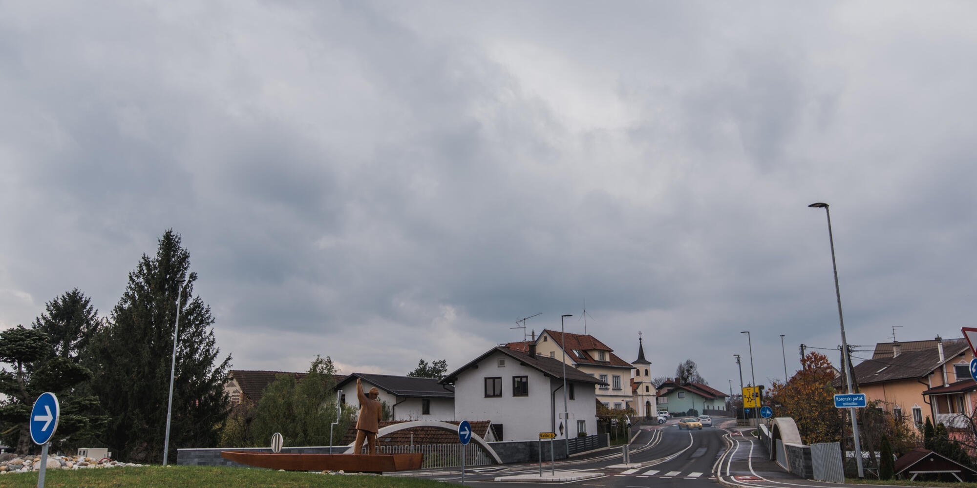
Duplek lies on the north-western edge of Slovenian Hills, where the hilly region slopes down to the flatland part of the Drava riverside.
Cultural heritage
Parish Church of St. Barbara
The parish Church of St. Barbara stands on the site of an older church from 1560. The church was built in 1789, and it was redecorated and renovated in 1867. At the crossroads of the roads there is a triangular sign, which reminds of the plague in the years 1710 and 1712. Near the church there is a stone statue of St. Richard from 1856.
Church of St. Mary on Vurberk
Until 1785, when Vurberk became a parish, the church served for religious purposes of the counts and all who were connected with the castle. The first church is mentioned already in 1336, and the second, dedicated to St. Nicholas, the patron saint of rafters, in 1510. During the turbulent times of Turkish invasions and Protestantism, this church witnessed numerous brutal interventions, including the demolition of Mary's statue from the 15th century. What the Turks did not destroy was destroyed by the Protestants, yet nevertheless, the church remained until the 18th century.
Church of St. Martin in Dvorjane
It is a parish church since 1791. It is dedicated to the patron saint St. Martin (11 November). On the right side of the altar there is the Immaculate, and on the left St. Michael. The church organs were made in 1770, repeatedly renovated, and at last enlarged in 1991. The belfry is massive, 33m high, and was newly covered with copper in 1992. Around the church there is a wall, inside of which there used to be a cemetery. The vicarage was built around 1800.
Vurberk Castle
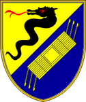
The castle stands on a strategically important hill above the river Drava. Today it is in ruins, since only the Renaissance fortification and the wall with towers and the entrance with the Renaissance portal, where the Vurberk coat of arms with a worm or a dragon is still visible, are preserved. During the Second World War, the Germans converted the castle into a Nazi political school, and in February 1945 the Allies bombed and severely damaged it.
Natural heritage
Kamenščak Landscape Park
The park covers the part of the hills of Slovenske Gorice between the Drava River and Pesnica Valley, between Završka vas, Koren, Voličina, and Hrastovec, and is part of the so-called lonely karst, which extends over a width of 1-2 kilometres from Duplek in the southwest to Hrastovac in the northeast. In the wider area of the settlements, there is intensified urbanization, in some cases intensification of agricultural areas. The traditional Slovene-Gorica cultural landscape with extensive agricultural use is otherwise preserved; extensive meadows, hay orchards with high trunk trees, vineyards, wooded northern slopes and fields, pastures and grasslands in the bottom of the valleys, which offer a living space for a large number of rare butterfly and bird species.
Services nearby (10km)
To spletno mesto uporablja piškotke, ki izboljšajo vašo izkušnjo. Kaj so piškotki?
Nastavitve piškotkov
To spletno mesto uporablja piškotke, ki izboljšajo vašo izkušnjo. Kaj so piškotki?
Zahtevani piškotki
Ti piškotki so nujni za delovanje naše spletne strani in jih ni mogoče izključiti.
Oglaševalski piškotki
Te piškotke lahko na našo stran postavijo oglaševalski partnerji in s pomočjo njih prikažejo relevantne oglase.
Analitični piškotki
Omogočajo anonimizirano zbiranje podatkov o obisku spletne strani. Nastavi jih lahko tretja oseba, katere storitve uporabljamo.

 Warnings
 Construction
 Weather
 Contact
 Search


